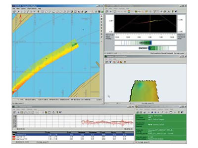
A Total Hydrographic Solution
QINSy provides a user-friendly, turnkey solution for all types of marine navigation, positioning and surveying activities. From survey planning, to data collection, data cleaning, volume calculations, bathymetric chart production, and S-57 ENC production, QINSy offers a seamless data flow from a large variety of hardware sensors, all the way to a complete chart product. QINSy runs on a standard PC platform under the Windows (2000/XP) operating system. The software is not only independent of sensor manufacturer, but also hardware independent.
View the brochures for full specification (QINSy)
