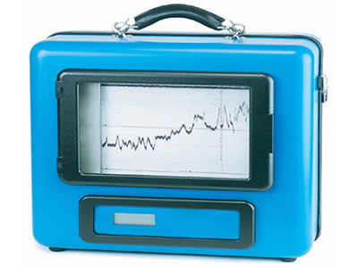
Underwater Topography Recording from Compact Survey Instrucment
The Bathy-500MF is a state-of-the-art electronic survey instrument used to generate precision chart recordings and digital data output. Low power consumption, portability, ease to use, rugged construction,and built-in communication interfaces for navigation/data logging make the Bathy-500MF ideal for shipboard use.
View the brochures for full specification (Bathy 500MF)
