 |
 |
 |
|||
Hydropro Navigation |
Hydropro Construction |
Terramodel |
|||
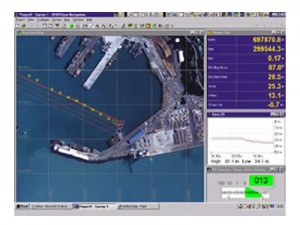
| Read More Hydropro Navigation Hydrographic Survey SoftwareTrimble HYDROpro Navigation software is an easy to use software solution for today's hydrographic surveyor. Designed with superior performance and efficiency in mind it allows for significant improvements in productivity on even the most complex marine survey application. The HYDROpro Navigation software uses advanced time-stamping techniques for precise data synchronization. All data is stored in a single Microsoft Access database file to allow for more efficient file management activities. |
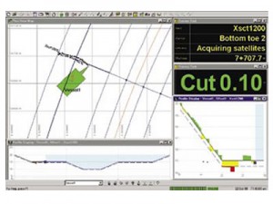
Read More Hydropro Construction Marine Survey and Construction SoftwareTrimble HYDROpro Construction software is a comprehensive software package for marine and waterway construction tasks that require precise positioning. With the HYDROpro Construction software, projects can be completed faster, safer, and more economically than with conventional methods. The software builds on the patented and proven techniques of the Trimble HYDROpro Navigation software. It encompasses all of the hydrographic surveying features offered in HYDROpro Navigation, plus multiple flavors for specific marine construction applicationsnamely Pile, Rig, and Dredge |
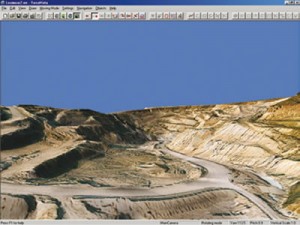
Read More Terramodel Flexible Survey Software for a Changing WorldTThe Terramodel Field Data Module (FDM) is the entry level Terramodel system. Data can be transferred to and from Trimble instruments in addition to a wide range of third-party instruments and software systems. Tools are provided for the computation, display and analysis of survey data; graphical preview; survey drafting; report generation; and data queries. FDM can be upgraded, by the addition of other Terramodel modules, to meet a wide range of survey tasks. |
|||
 |
 |
 |
|||
Qinsy |
Software TGO |
Software TBC |
|||
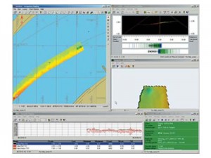
| Read More QINSy A Total Hydrographic SolutionQINSy provides a user-friendly, turnkey solution for all types of marine navigation, positioning and surveying activities. From survey planning, to data collection, data cleaning, volume calculations, bathymetric chart production, and S-57 ENC production, QINSy offers a seamless data flow from a large variety of hardware sensors, all the way to a complete chart product. QINSy runs on a standard PC platform under the Windows (2000/XP) operating system. The software is not only independent of sensor manufacturer, but also hardware independent. |
Read More Software TGO Software TGOThe Trimble Geomatics Office software is an important part of Trimble’s total surveying solutions. Never has the collection, processing, and management of survey data been so easy. Surveyors and engineers who work with data received from GPS, conventional or robotic total stations, digital levels, laser instrument, road design packages or GIS databases, appreciate its ease of use and common interface for all operations. |
Read More Software TBC Trimble Business Center - Your Complete Office SolutionDesigned for today's fast-paced surveying office, Trimble Business Center unlocks the potential of terrestrial and GNSS surveying data. Now with flexible licensing options and powerful visualization and modeling tolls, Trimble Business Center is as versatile as it is powerful. |
|||
